
Will a granny flat fit your block?
Type the address. In about ten seconds you get the lot, the zone, the council's size cap and the flags on the maps, straight from council and state data. Then a licensed builder can take it from there.
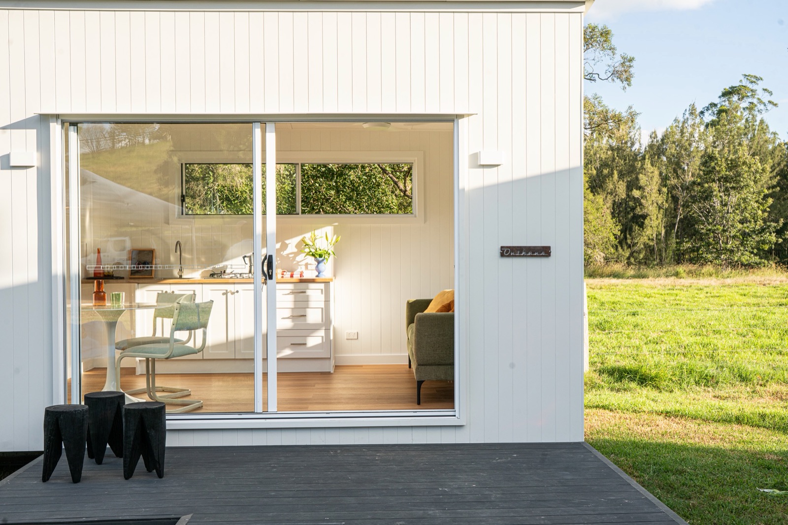
What the check covers
- Zone and the size cap. Which zone you're in and how big a second home your council allows on that lot.
- Lot size and frontage. Some councils say no below a set lot size. Moreton Bay is one.
- Overlays. Character, heritage, flood, overland flow, bushfire. These decide whether you need a planning application.
- Easements and services. Where the sewer and stormwater run, and what you can't build over.
- Slope and ground. Flat pad or stumps, and what that does to the cost.
- Access and crane. Whether a truck gets in, where a crane would stand and how far it has to reach.
How it works
The instant check reads the lot boundary, zone, overlays, sewer maps and ground levels from the council and state map services, and checks them against your council's rules. It's a first look from public data, not a planning report.
The maps can't see easements on the title, the services in the ground, the trees or how a truck gets in. A builder can. Ask for the manual check and a builder looks at it properly, then emails a clear answer: yes, no, or here's what it would take.
Council rules in detail: Brisbane, Moreton Bay, Logan, Ipswich, Redland, Gold Coast, Sunshine Coast.
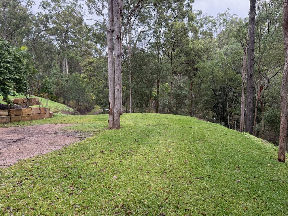
Rather a builder checked it by hand?
Units, new estates and blocks outside the maps' reach, or you'd simply like a person to look. Same check, done by hand, answered by email.
Block check questions
Is this a planning report?
No. It's an automated first look at public council and state map data, so you know where you stand before you spend anything. A certifier's planning report or a builder's site check goes further: title, easements, the survey, the services on the ground and how a crane gets in.
Where does the data come from?
The Queensland Government's address, lot, elevation and aerial services, the State Planning Policy maps, the Queensland Heritage Register, your council's planning scheme maps and the water authority's sewer maps. Each flag on the result names its source.
Can I place a home on the block?
Yes. Under the aerial, pick one of the homes that fit the block, drawn to scale from the length and width its maker publishes, then drag it, turn it, and swap it for the next home that fits. The numbers show how far each side is from the boundary, red when a side is inside the setback drawn (6 m from the road, 1.5 m from the sides and rear, the usual Queensland Development Code distances). It is your own sketch, not a site plan: the check never picks a spot for you, because easements, services, trees, the house and crane reach decide where a home can go, and council and a certifier confirm it. The PDF prints the home where you put it.
Why does a flag say check manually?
Some councils don't publish every map as open data, and some map servers are slow or down at times. When a lookup doesn't answer, the result says so rather than guess. Ask for the free manual check and it gets looked up by hand.
Is the install price a quote?
No. It's a guide from what installs usually cost in South East Queensland, nudged for things the maps show, like slope or no sewer. It covers the install only, on top of the home itself. The written quote comes after a builder has seen the site.